 The Rock Island District’s flood risk management mission ranges from smaller, local flood risk management projects and major urban projects (non-structural measures, earthen levees, concrete and steel floodwalls, gate closures, drainage improvements, etc.), to large reservoirs.
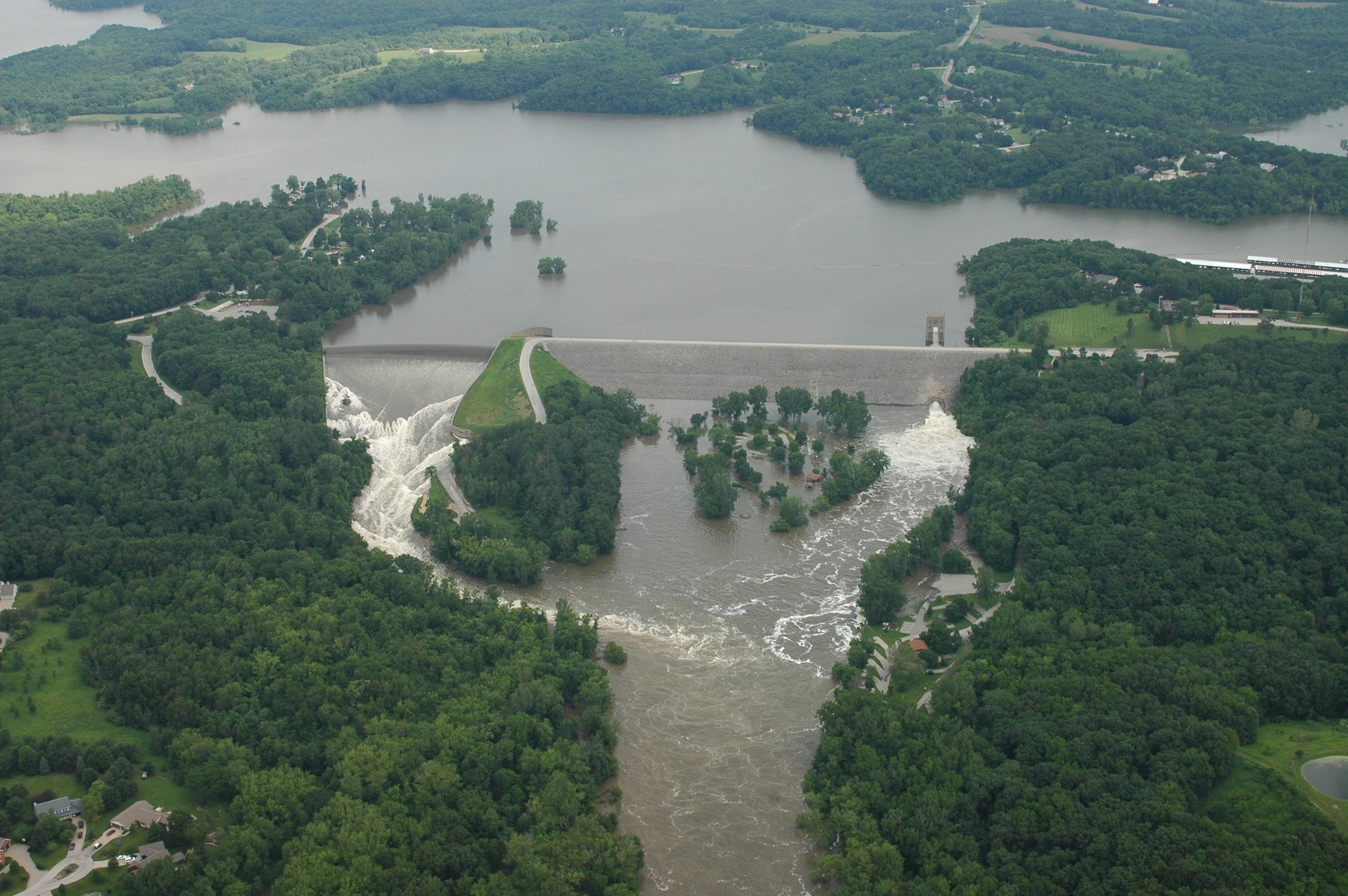
The District has built and operates three flood protection reservoirs: Lake Red Rock and Saylorville Lake in the Des Moines, Iowa, area; Coralville Lake above Iowa City, Iowa; and two dry reservoirs east of Peoria, Illinois. In addition, these multi-purpose projects are used for fish and wildlife habitat, recreation, and water supply.
The Rock Island District, with its cost-share partners, has built nearly 100 flood risk management projects, in addition to more than 550 combined miles of levees and floodwalls along its reaches of the Mississippi and Illinois rivers and their tributaries.
Since their construction, District flood risk management structures have prevented nearly $8.8 billion in flood damages and have returned $16.50 for each dollar invested.