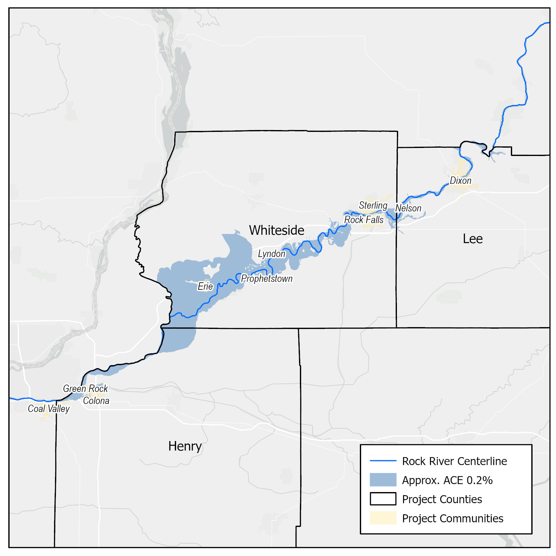
The USACE Rock Island District, Illinois Department of Natural Resources - Office of Water Resources and Illinois State Water Survey are partnering to examine flood risk on the lower Rock River. This inter-agency project will develop and communicate structure-based flood risk assessments for communities on the lower Rock River in Henry, Lee, and Whiteside counties. See Map Below
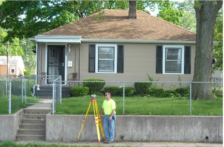
This work will provide maps for Rock River communities to better communicate flood risk and help plan for future flooding. Structural flood damage assessments will be developed for all areas in the floodplain that are considered to be at risk based on annual flooding statistics. These assessments will be developed using various flood depths and will include survey data collected from the lowest elevation water can enter a building and first floor elevation for all residential, commercial, and industrial structures. Parcel data, Geographic Information System (GIS) data, and any elevation certificate data will be obtained from each county and municipality.

Project Benefits
- As a result of this project, state, county and local community officials will have access to enhanced flood risk information and tools to assist with community communication and decision-making regarding land-use and future development in high-risk flood areas.
- Information shared with river communities will be used to inform and educate citizens about flood risk.
- Flood risk assessments like this, recently conducted in Illinois on the Upper Mississippi River and Illinois River have already yielded immediate life safety and resiliency benefits as well as improved planning for the future.
- This project will add another complete component to the growing statewide risk assessment database being developed and used by the State of Illinois.